Our archive and search room is now open on Tuesdays and Thursdays from 10am to 4pm. Keep up to date via our Facebook page and Twitter.
Hounam
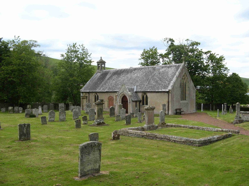
The Parish of Hounam is situated on the English Border in the south east of Roxburghshire between the Parishes of Oxnam to the west, Eckford to the north and Morebattle to the east. Across the border to the south is the County of Northumberland.
CD-ROM Roxburgh Memorial Inscriptions Hounam and Linton 2008 (3rd. edition) edited by Liz Leitch and Jean Fleming - includes:
Hearth Tax
War Memorial transcription
List of Ministers
See our sales list for full details and cost of postage.
Volumes available for consultation within our Archive
Hounam and Linton Monumental Inscriptions No 1 Roxburghshire transcribed by Elspeth Ewan 1995, reprinted 1990 - includes:
Hearth Tax
War Memorial transcription
List of ministers
From Kelso to Kalamazoo - the life and times of John Taylor, born Hounam 1803, died 1891.
The Churches and Graveyards of Roxburghshire by Dr. G.A.C. Binnie, 2001.
Rutherford's Southern Counties Register and Directory, 1867.
County Directory of Scotland, 1912 - Borders Towns and Villages.
CD-ROM Pigot's 1837 Directory of Berwickshire and Roxburghshire.
CD-ROM Land Ownership Commission Report,1872 -1873.
Magazine Articles
Please note that the heading Author includes persons who have compiled or transcribed records; and that the topics indexed, and the synopses are subjective opinions. See the Sales List to buy copies of the magazines containing articles in which you're interested.
Title
Synopsis
Size Description
Issue No
Author
Know your Parish--Morebattle
A history of Morebattle Parish and the surrounding area.
1 page or more
18
Elspeth Ewan
Know your Parish--Hounam
The history of Hounam.
1 page or more
16
Snowstorm in the Cheviots
A young shepherd gets lost in the snow and is frozen to death. There's also a specification for shepherds boots.
2 pages or more
69
Jean Fleming
Map of Hounam from UK Great Britain, Ordnance Survey one-inch to the mile (1:63,360), 'Hills' edition, 1885-1903 by kind permission of the National Library of Scotland. Use the control at the top left of the map to zoom in or out and drag the map left, right, up, or down as you wish.
Map of Hounam from UK Ordnance Survey Historical Maps from 1919-1947 by kind permission of the National Library of Scotland. Use the control at the top left of the map to zoom in or out and drag the map left, right, up, or down as you wish.
20 Most Common Surnames
The 20 most common surnames on gravestones recorded by us in the Hounam and Linton monumental inscriptions volume are (number of gravestones in brackets): DOUGLAS (24), RUTHERFORD (22), HALL (22), TURNBULL (19), OLIVER (16), SCOTT (14), SMITH (11), BELL (10), DAVIDSON (10), WAKER (9), ROBSON (9), TELFER (9), ELLIOT (7), PURVES (6), TROTTER (6), HENDERSON (6), MURRAY (6), PRINGLE (5), ANDERSON (5), LEISHMAN (5).