Our archive and search room is now open on Tuesdays and Thursdays from 10am to 4pm. Keep up to date via our Facebook page and Twitter.
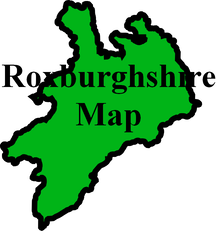
Minto
Minto Parish is situated in west central Roxburghshire. The Parish of Lilliesleaf is to the north, the Parish of Ancrum to the east, the Parish Cavers, to the south and the Parish of Wilton on the west. Minto Hill is a prominent feature in the local landscape. The Parish of Minto incoporates the village of Hassendean, once a parish in its own right.
In 1975 the Parishes of Minto and Bedrule were combined as the Parish of Ruberslaw which is now linked with Hobkirk and Southdean.
Memorial Inscriptions - Minto 2011 edited by Elma Fleming, CD-ROM includes:
Indexes of place names
Index of occupations
Colour photographs of all gravestones
See our sales list for full details and cost of postage.
Volumes available for consultation within our Archive
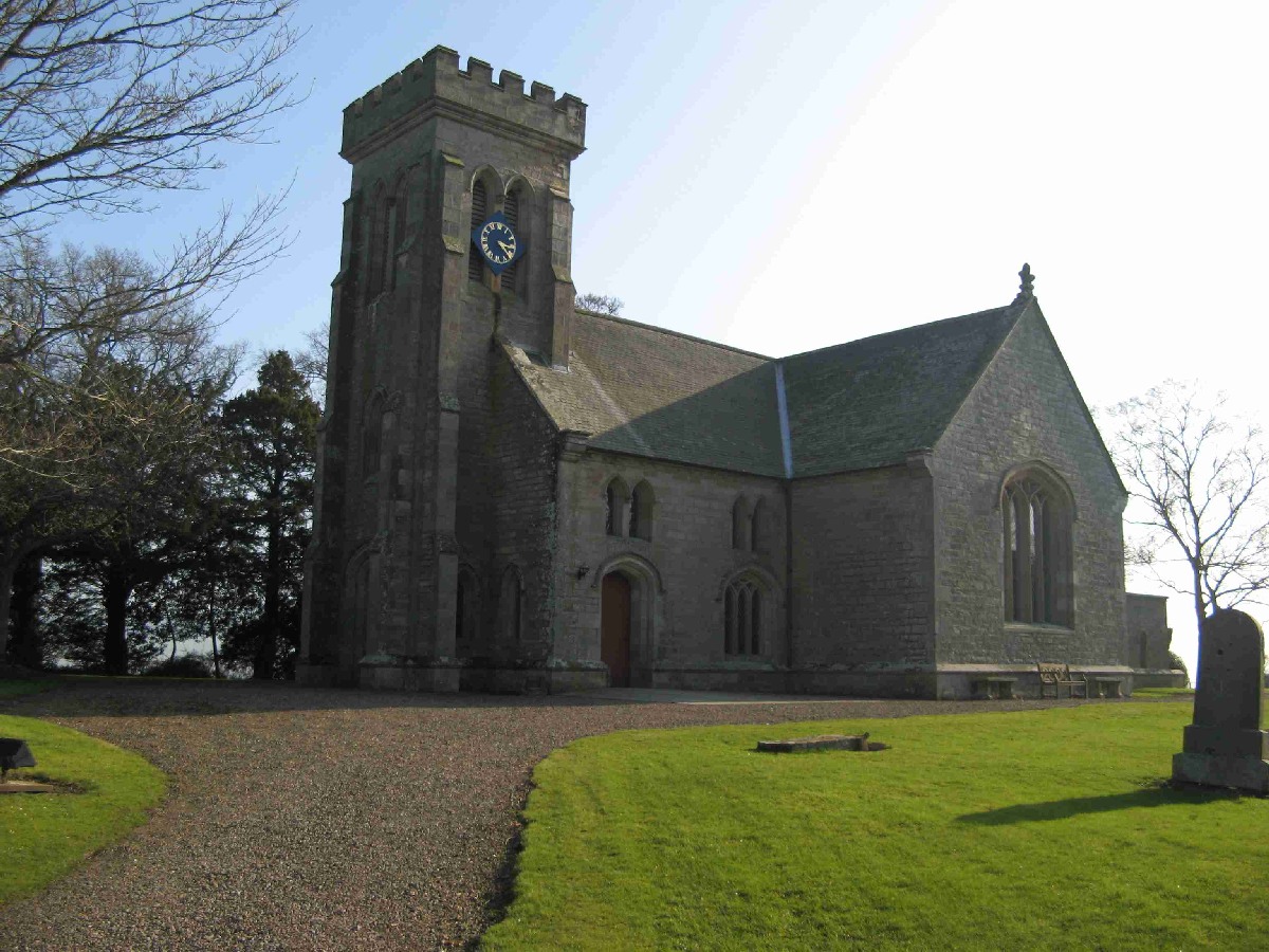
The Norman Church at Minto by George O Wood (contains transcription and photographs of old cemetery on Minto Estate.
Ruleswater and its People by George Tancred of Wemyss 1907.
The Churches and Graveyards of Roxburghshire by Dr. G.A.C. Binnie 2001.
Rutherford's Southern Counties Register and Directory 1867.
Fatlips Castle by Anne A Robertson, The Southern Annual
County Directory of Scotland 1912 - Borders Towns and Villages.
CD-ROM Pigot's 1837 Directory of Berwickshire and Roxburghshire.
CD-ROM Land Ownership Commission Report 1872 -1873.
Magazine Articles
Please note that the heading Author includes persons who have compiled or transcribed records; and that the topics indexed, and the synopses are subjective opinions. See the Sales List to buy copies of the magazines containing articles in which you're interested.
Title
Synopsis
Size Description
Issue No
Author
One of the many Brown Families
A family tree of Browns in Galashiels, Selkirk areas.
1 page or more
26
I.M. Brown
Minto Memorial Inscriptions
Some notes on the Minto Memorial Inscriptions published by the Society on CD.
1 page or more
77
Elma Fleming
Elliots
Some notes on the Elliot Clan Gathering and the donation to the Society of a book 'The Rise of the Elliots of Minto'.
less than 1 page
94
Ronald Morrison
Am I or am I not an Elliot? Can I wear my Elliot tartan scarf?
An account of the research into the authors connections to the Elliot name. Elizabeth Elliot was born in Hawick 1892 to Robert Eliot (b. 1857) and Margaret Rowat. Robert was 1 of 3 children born to George and Elizabeth Douglas. Before then the researcher has been unable to clearly trace the Elliots further with any confidence.
less than 1 page
102
Christine Nichol
The War Memorial at Minto by Roger J Owen
Some paragraphs on the book 'The War Memorial at Minto' by Roger J Owen.
less than 1 page
88
The Turnbulls of Minto Cleuchead, Burnfoot and East Middle
From Hawick to Australia
Extracts from a book of more than three hundred pages .
3 pages or more
26
Mrs Robyn Crossle
The Parish of Langlands
The parish of Langlands and the history of old leper hospital at Rutherford. Also the history of Langton that was absorbed into Wilton.
3 pages or more
35
Michael Langlands
Last Wishes; Scottish Soldiers' Wills in the First Word War
An account of a talk by the author to the Society on soldiers' Wills and Testaments during World War 1.
2 pages or more
93
Tristram Clarke
A Denholm Family And My Border Memories
A journey through time in Denholm. From Post office, Lord Minto and his new bride to preserves cooking on the range in Meg Purness' draper's shop.
3 pages or more
35
Jean Kelly
The Life and Family of Dr. John Leyden
Enthralling biography of the famous polymath (minister, surgeon, judge, linguist, poet and naturalist) who lived from 1775 to 1811.
7 pages or more
45
Marjory Gavin
Family History Records
An archivist from the Heritage Hub in Hawick discusses a range of records that can be used to provide a fuller picture of our ancestors
5 pages or more
70
Juline Baird
Map of Minto from UK Great Britain, Ordnance Survey one-inch to the mile (1:63,360), 'Hills' edition, 1885-1903 by kind permission of the National Library of Scotland. Use the control at the top left of the map to zoom in or out and drag the map left, right, up, or down as you wish.
Map of Minto from UK Ordnance Survey Historical Maps from 1919-1947 by kind permission of the National Library of Scotland. Use the control at the top left of the map to zoom in or out and drag the map left, right, up, or down as you wish.
20 Most Common Surnames
The 20 most common surnames on gravestones recorded by us in the Minto monumental inscriptions volume are (number of gravestones in brackets): SCOTT (22), ELLIOT (15), TURNBULL (11), RUTHERFORD (8), BROWN (8), WATSON (8), WILSON (8), OLIVER (8), GALLOWAY (7), SMITH (7), TAIT (5), DOUGLAS (5), THOMSON (5), ANDERSON (4), RENWICK (4), EASTON (4), SMAIL (4), MAXWELL (4), HENDERSON (3), HUGHES (3).
The Statistical Accounts of Scotland compiled initially between 1791 and 1799, with a subsequent edition between 1834 and 1845 are a valuable record of the geography, history, economy, people and customs recorded by local ministers. You'll need to search for the parish name.
Two Centuries of Borders Church Life by J Tait Kelso 1891.