Our archive and search room is now open on Tuesdays and Thursdays from 10am to 4pm. Keep up to date via our Facebook page and Twitter.
Cavers
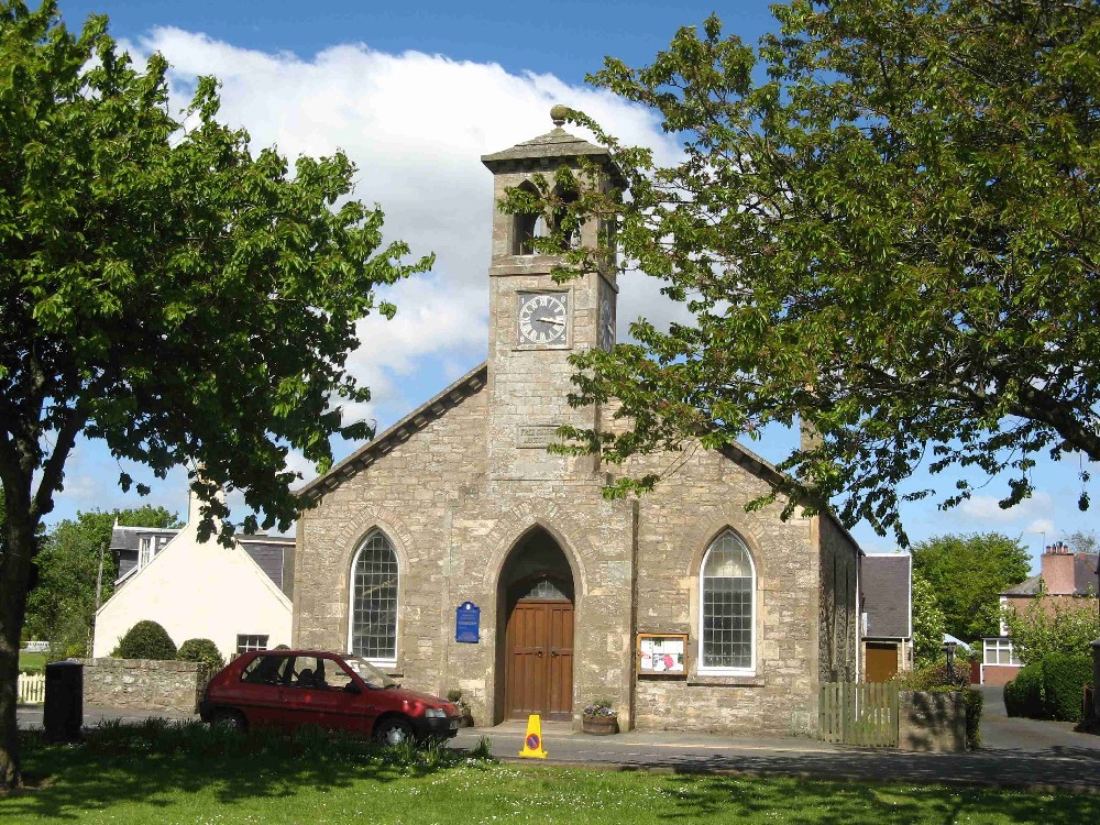
Cavers is situated in south east Roxburghshire. To the north lie the Parishes of Minto and Ancrum, the Parishes of Bedrule and Hobkirk lie to the east, whilst on the south lies the Parish of Kirkton and the Parishes of Hawick and Wilton are on the west. The ecclesiastical Parish of Cavers is now linked with Kirkton and Hawick Trinity
Memorial Inscriptions Cavers and Kirkton (volume 19 Roxburghshire) edited by Jean Sanderson 2005 includes:
Hearth Tax List
Militia List
List of Ministers
War Memorial transcriptions
See our sales list for full details and cost of postage.
Volumes available for consultation within our Archive
The Churches and Graveyards of Roxburghshire by Dr. G.A.C. Binnie 2001.
Rutherford's Southern Counties Register and Directory 1867.
County Directory of Scotland 1912 - Borders Towns and Villages.
CD-ROM Pigot's 1837 Directory of Berwickshire and Roxburghshire.
CD-ROM Photographs of Memorial Inscriptions Kirkton Churchyard.
CD-ROM Land Ownership Commission Report 1872 -1873.
Magazine Articles;
Please note that the heading Author includes persons who have compiled or transcribed records; and that the topics indexed, and the synopses are subjective opinions. See the Sales List to buy copies of the magazines containing articles in which you're interested.
Title
Synopsis
Size Description
Issue No
Author
A quest for Scottish Roots in the Middle Marches
This article was first printed in the Laidlaw Family Journal of October 1995 and has been reprinted in this issue.
3 pages or more
31
Kenneth Laidlaw
William Elliot, Architect
The family history of William Elliot and descriptions of some of the fine house's he built.
3 pages or more
15
Kathleen Stewart
The Life and Family of Dr. John Leyden
Enthralling biography of the famous polymath (minister, surgeon, judge, linguist, poet and naturalist) who lived from 1775 to 1811.
7 pages or more
45
Marjory Gavin
Hobkirk/Hopkirk
Report on research into the name Hobkirk/Hopkirk.
less than 1 page
96
Glenys Bollard
Selkirk Migrants 1850--1865
A list of emigrants from Selkirk to various parts home and abroad, from the diary of the minister of Selkirk Parish Kirk.
2 pages or more
9
Alison Scott
The relationship of place names and personal names
The relationship is two fold: (1) Place names derived from personal names,
(2) Personal names derived or adopted from place names.
1 page or more
21
Jessie Macdonald
The Ainslies--Some notes
The name Ainslie, from 1066 onwards, a full and detailed family history.
1 page or more
8
Violet Jardine
Cavers & District
Talk given in February 2007 about the history of the kirk and parish of Cavers, and its links with Melrose, St Cuthbert, and other famous people.
6 pages or more
64
Jean Muir
More Canadian Intimations in the 'Hawick Advertiser'
Deaths (1863-1864) extracted from the "Hawick Advertiser" of people connected to the Borders, and other places in southern Scotland.
Continued from issue 40.
less than 1 page
43
Marjory Gavin
Map of Cavers from UK Great Britain, Ordnance Survey one-inch to the mile (1:63,360), 'Hills' edition, 1885-1903 by kind permission of the National Library of Scotland. Use the control at the top left of the map to zoom in or out and drag the map left, right, up, or down as you wish.
Map of Cavers from UK Ordnance Survey Historical Maps from 1919-1947 by kind permission of the National Library of Scotland. Use the control at the top left of the map to zoom in or out and drag the map left, right, up, or down as you wish.
20 Most Common Surnames
The 20 most common surnames on gravestones recorded by us in the Cavers & Kirkton (including Denholm) monumental inscriptions volume are (number of gravestones in brackets): SCOTT (94), TURNBULL (52), OLIVER (36), MURRAY (31), LITTLE (27), DOUGLAS (24), ELLIOT (23), DAVIDSON (20), WILSON (20), ANDERSON (18), YOUNG (17), ARMSTRONG (17), THOMSON (16), SMITH (16), BELL (15), HENDERSON (14), LAIDLAW (13), TAIT (12), BROWN (12), AMOS (12).
Other Sources
Denholm; a history of the Village by Margaret Sellar Denholm 1989.
So far as we are aware, the copyright on these pictures has expired.
However, if you wish us to remove the images and you can demonstrate that you hold the copyright, please contact us.