Our archive and search room is now open on Tuesdays and Thursdays from 10am to 4pm. Keep up to date via our Facebook page and Twitter.
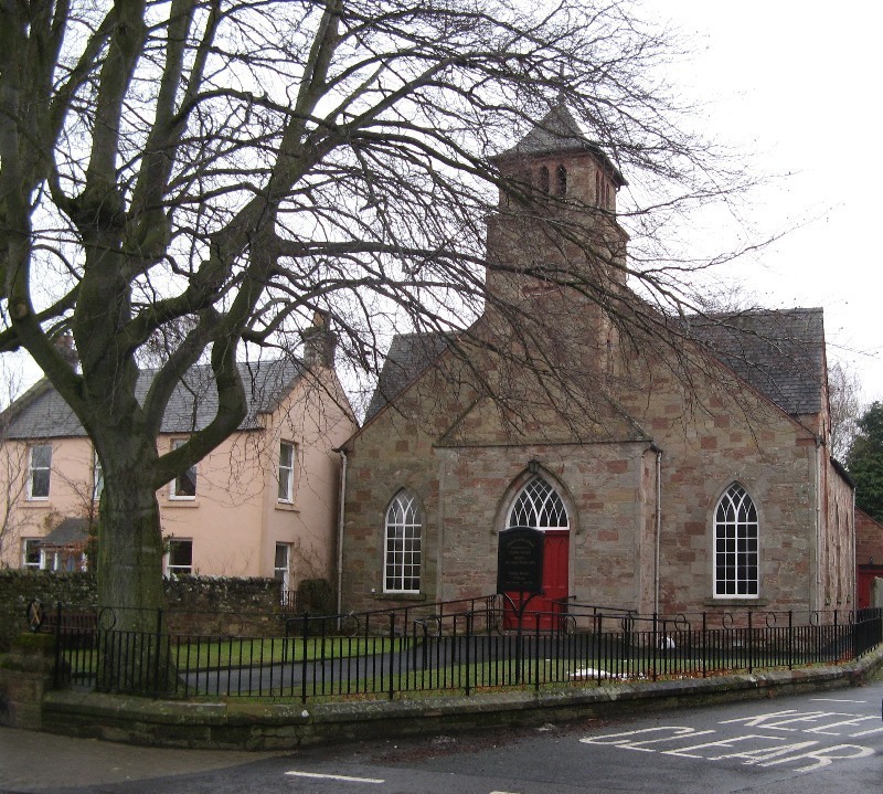
St Boswells (Lessudden)
St. Boswells is a small Parish in north Roxburghshire which was once known as Lessudden. The administrative centre of Scottish Borders Council is situated in Newtown St Boswells. The Parish is bounded on the north by the Parishes of Melrose and Mertoun in Berwickshire, on the east by the Parish of Maxton, on the south by the Parish on Ancrum and on the west by the Parish of Bowden. St Boswells (and the more recent parish of Newtown St Boswells) is now linked with the combined parish of Maxton & Mertoun
St. Boswells (Lessudden) Memorial Inscriptions No 17 Roxburghshire, 1999
transcribed by Elspeth Ewan - contains:
Hearth Tax
list of ministers
militia list
War Memorials transcriptions
See our sales list for full details and cost of postage.
Volumes available for consultation within our Archive
Change at St. Boswells by Lieut. Col. Frederick G Peake. - Galashiels 1961.
Old Melrose, St. Boswells and Bowden by July Olsen - Stenlake Publishing.
The Churches and Graveyards of Roxburghshire by Dr. G.A.C. Binnie 2001.
Rutherford's Southern Counties Register and Directory 1867.
County Directory of Scotland 1912 - Borders Towns and Villages.
CD-ROM Pigot's 1837 Directory of Berwickshire and Roxburghshire
CD-ROM Land Ownership Commission Report 1872 -1873.
Magazine Articles;
No articles currently.
Map of St Boswells from UK Great Britain, Ordnance Survey one-inch to the mile (1:63,360), 'Hills' edition, 1885-1903 by kind permission of the National Library of Scotland. Use the control at the top left of the map to zoom in or out and drag the map left, right, up, or down as you wish.
Map of St Boswells from UK Ordnance Survey Historical Maps from 1919-1947 by kind permission of the National Library of Scotland. Use the control at the top left of the map to zoom in or out and drag the map left, right, up, or down as you wish.
Two Centuries of Borders Church Life by J Tait Kelso 1891.
The Statistical Accounts of Scotland compiled initially between 1791 and 1799, with a subsequent edition between 1834 and 1845 are a valuable record of the geography, history, economy, people and customs recorded by local ministers. You'll need to search for the parish name.
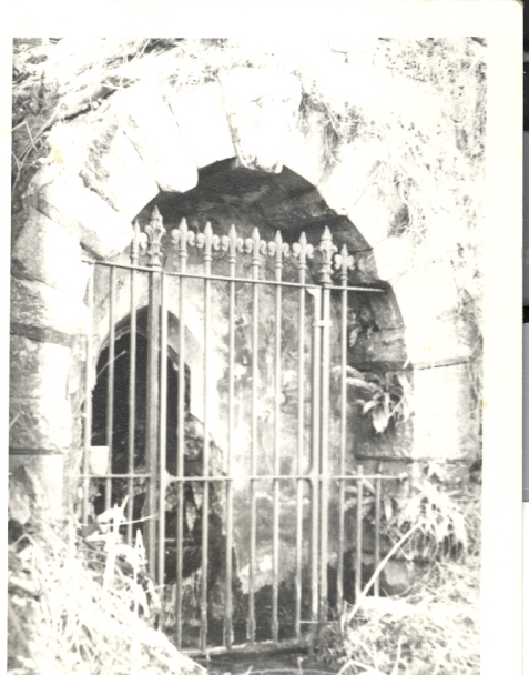
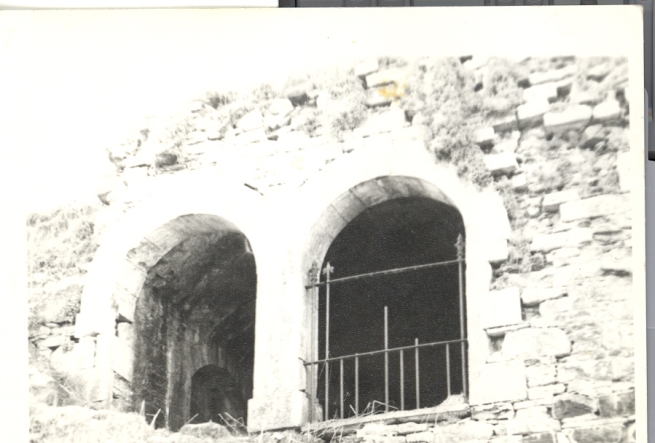
So far as we are aware, the copyright on these pictures has expired.
However, if you wish us to remove the images and you can demonstrate that you hold the copyright, please contact us.