Mertoun is the south eastmost Parish in Berwickshire, being bounded on the north by the Parish
of Earlston, on the east by the Parishes of Smailholm and Makerstoun, on the south by the Parish of Maxton and on the west by the
Parishes of Maxton and Melrose.
Old Parish Birth Records exist from 1729 to 1854.
Marriage Records exist from 1737 to 1854. Death records exist from 1764 to 1854.
1841 census Mertoun.
1851 census Mertoun.
1861 census Mertoun.
Mertoun Memorial Inscription Vol.2 Berwickshire
transcribed by Elspeth Ewan 1995 (contains Hearth Tax, Militia List, list of ministers and War Memorial transcription).
See our sales list for full details and cost of postage.
Volumes available for consultation within our Archive
Pre 1855 Memorial inscriptions of Berwickshire by David Cargill.
The Churches and Churchyards of Berwickshire by G.A.C. Binnie.
C.D. The Churches and Churchyards of Berwickshire by James Robson 1896.
Index to Particular Register of Sasines for Berwickshire.
Pigot's 1837 Directory of Berwickshire and Roxburghshire.
Rutherford's Southern Counties Register and Directory 1867.
C.D. Slater's Directory of Berwickshire 1903.
County Directory of Scotland 1912 - Borders Towns and Villages.
Magazine Articles
No articles currently.
Map of Mertoun from UK Great Britain, Ordnance Survey one-inch to the mile (1:63,360), 'Hills' edition, 1885-1903 by kind permission of the National Library of Scotland. Use the control at the top left of the map to zoom in or out and drag the map left, right, up, or down as you wish.
Map of Mertoun from UK Ordnance Survey Historical Maps from 1919-1947 by kind permission of the National Library of Scotland. Use the control at the top left of the map to zoom in or out and drag the map left, right, up, or down as you wish.
20 Most Common Surnames
The 20 most common surnames on gravestones recorded by us in the Mertoun monumental inscriptions volume are (number of gravestones in brackets): SCOTT (12), THOMSON (9), HENDERSON (8), BROWN (7), HALL (6), MILLS (6), REDPATH (6), STEWART (6), DICKSON (6), BLACKADDER (6), ANDERSON (5), BALLANTYNE (5), LAWRIE (5), BAILLIE (4), DODDS (4), WOOD (4), TURNBULL (4), HOOD (4), KERR (4), HISLOP (4).
Scottish Borders Archives and Family History Centre, The Hub Hawick hold the following records;
School Admission Registers 1913 to 1989 ref; B/ED/3/8-27.
School Admission registers 1951 to 1979 Ref; B/ED/3/52.
School Board Minute Book ref; B/ED/1-73.
School Log Books 1864 to 1953.
The Scottish National Archives, Edinburgh hold the following records;
Mertoun Parish Church;
Minutes 1697 to 1766, 1845 to 1849 and 1853 to 1919 ref; CH2/484.
Berwickshire Naturalists' Club has published the following articles;
The Statistical Accounts of Scotland compiled initially between 1791 and 1799, with a subsequent edition between 1834 and 1845 are a valuable record of the geography, history, economy, people and customs recorded by local ministers. You'll need to search for the parish name.
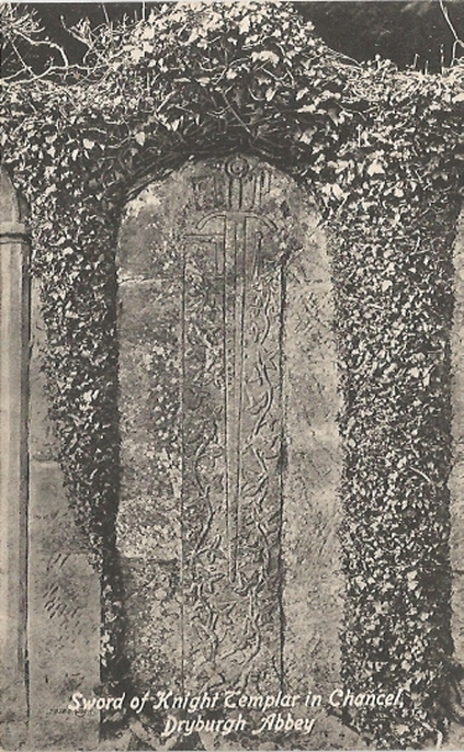
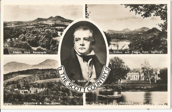
Sword of Knight Templar in Chancel, Dryburgh Abbey
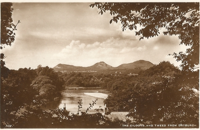
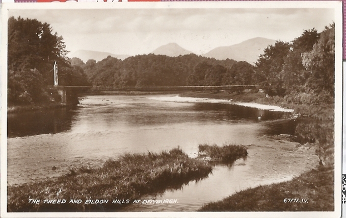
The Tweed and Eildon Hills at Dryburgh
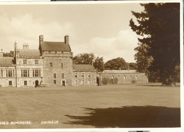
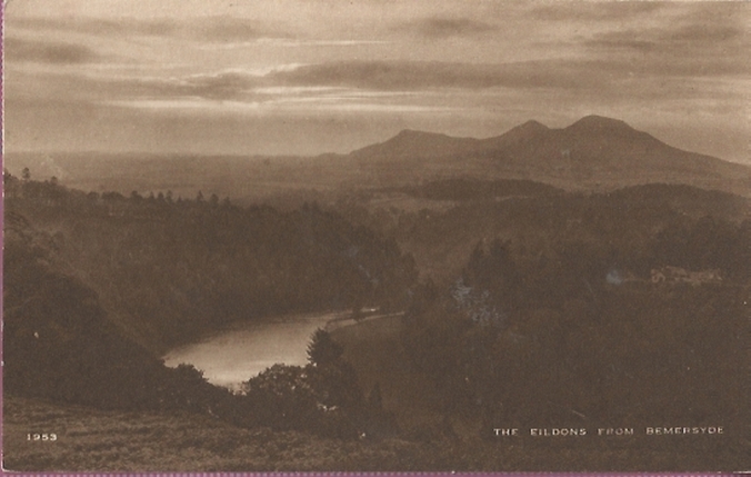
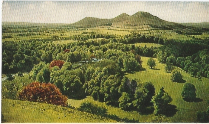
The Eildons from Bemersyde
The Eildons
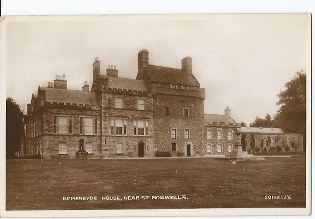
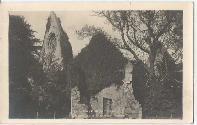
Eildons from Bemersyde and from Dryburgh
So far as we are aware, the copyright on these pictures has expired.
However, if you wish us to remove the images and you can demonstrate that you hold the copyright, please contact us.