Our archive and search room is now open on Tuesdays and Thursdays from 10am to 4pm. Keep up to date via our Facebook page and Twitter.
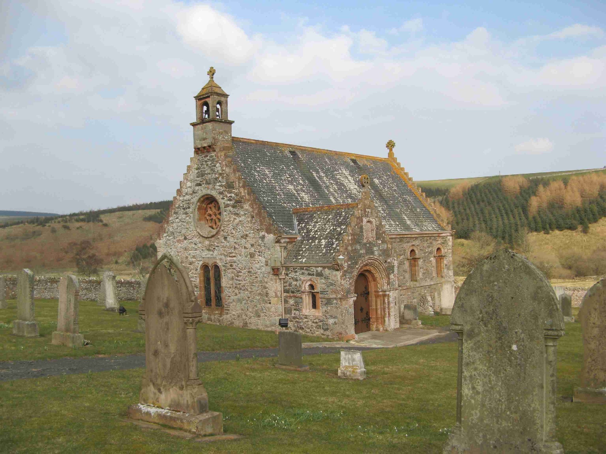
Cranshaws
The Parish of Cranshaws is situated in northern Berwickshire in the Lammermuir Hills with the County of East Lothian to the west and north, the Parish of Abbey St. Bathans is on the east, to the south-east is the Parish of Duns whilst the Parish of Longformacus is on the south.
See our sales list for full details and cost of postage.
Volumes available for consultation within our Archive
Pre 1855 Memorial inscriptions of Berwickshire by David Cargill.
The Churches and Churchyards of Berwickshire by G. A. C. Binnie.
Glimpses into the Past in Lammermuir by Norrie McLeish.
Notes on the Parish of Cranshaws by Crichton E Eddy.
Index to Particular Register of Sasines for Berwickshire.
Pigot's 1837 Directory of Berwickshire and Roxburghshire.
Rutherford's Southern Counties Register and Directory 1867.
County Directory of Scotland 1912 - Borders Towns and Villages.
Notes on the History of Cranshaws Castle, Donald Buchanan Robertson QC. (Berwickshire Naturalists' Club vOL 42).
CD-ROM The Churches and Churchyards of Berwickshire by James Robson 1896.
CD-ROM Slater's Directory of Berwickshire 1903.
CD-ROM Land Ownership Commission Report 1872 -1873.
Magazine Articles
Please note that the heading Author includes persons who have compiled or transcribed records; and that the topics indexed, and the synopses are subjective opinions. See the Sales List to buy copies of the magazines containing articles in which you're interested.
Title
Synopsis
Size Description
Issue No
Author
Abbey St Bathans, Cranshaws and Longformacus
A brief description of 3 neighbouring parishes and the records available.
2 pages or more
73
Map of Cranshaws from UK Great Britain, Ordnance Survey one-inch to the mile (1:63,360), 'Hills' edition, 1885-1903 by kind permission of the National Library of Scotland. Use the control at the top left of the map to zoom in or out and drag the map left, right, up, or down as you wish.
Map of Cranshaws from UK Ordnance Survey Historical Maps from 1919-1947 by kind permission of the National Library of Scotland. Use the control at the top left of the map to zoom in or out and drag the map left, right, up, or down as you wish.
20 Most Common Surnames
The 20 most common surnames on gravestones recorded by us in the Cranshaws monumental inscriptions volume are (number of gravestones in brackets): ALLAN (9), SCOTT (7), WILSON (6), ANDERSON (5), FERGIE (4), WOOD (4), MILLER (4), SIMPSON (4), SMITH (3), DODS (3), BROWN (3), SIBBALD (3), DODDS (3), PUNTON (2), DARRIE (2), COLTHERD (2), PRINGLE (2), NOBLE (2), MCPHERSON (2), EDGAR (2).
Other Sources
The Statistical Accounts of Scotland 1791-99 vol.6 p.436: Cranshaws, County of Berwick (click "browse scanned pages" and insert Parish name)
The Statistical Accounts of Scotland 1834-45 vol.2 p.99: Cranshaws, County of Berwick (click "browse scanned pages" and insert Parish name)